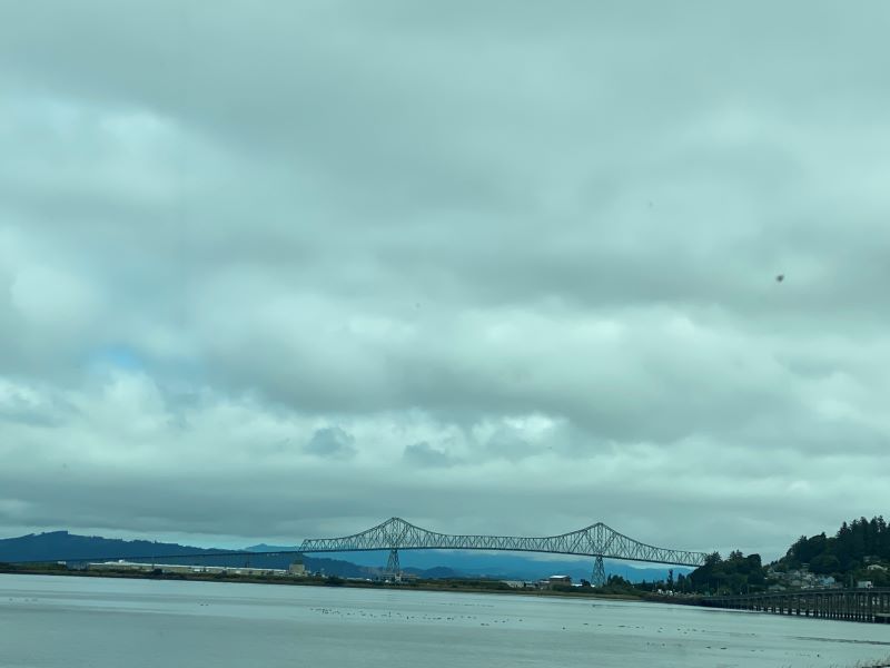
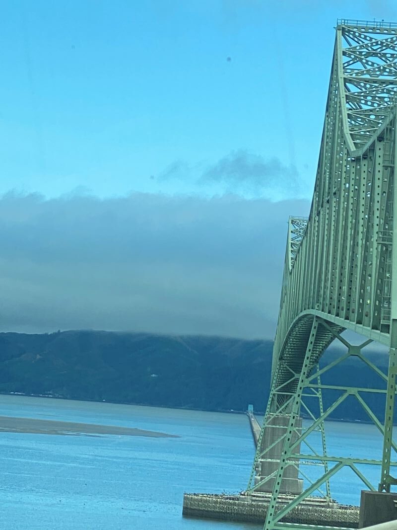
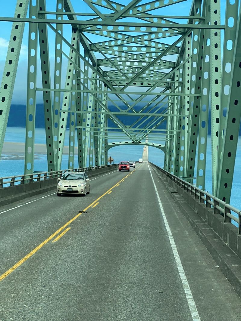
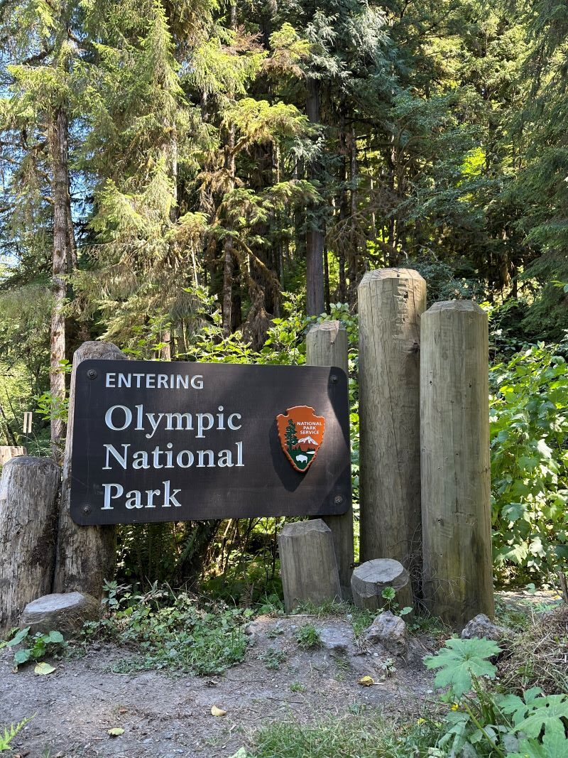
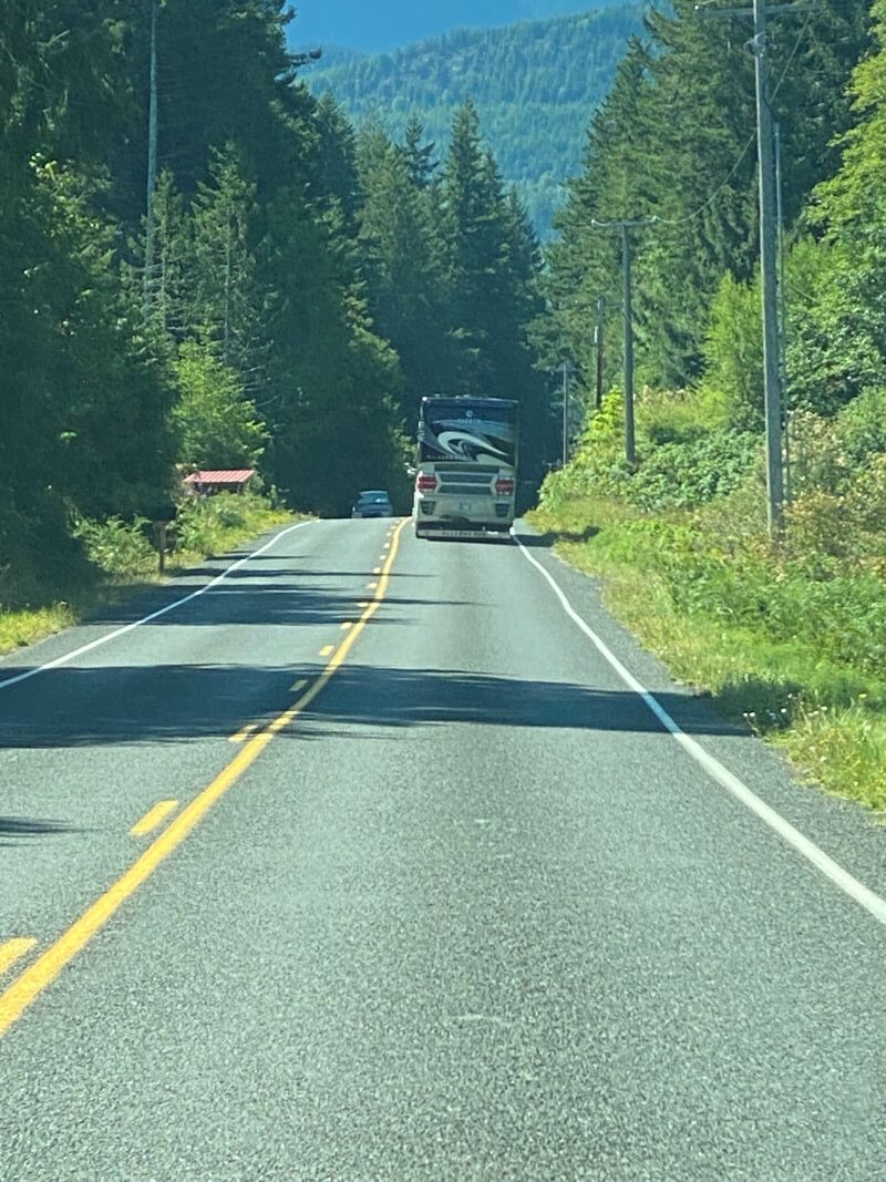
We crossed over a huge bridge from Astoria into Washington and headed north. Our next stop is to explore Olympic National Park from both the south end and the north end. We broke this park up into two separate stops because of the size of the park. It covers a huge amount of land and can be too much driving to cover from a single base.
Our first stop in Washington was at “Hoquiam River RV Park” (https://hoquiamriverrvpark.com), this is a nice park with great hosts (if you get there in time, they put out fresh baked items everyday) and plenty of space located right on the river. While we were planning our trips, we noticed there are very few beach cities in Washington. This is because of the jagged cliffs along the shores so there are only a few coastal towns along the pacific coast. We found one close by the park and the advertisements indicated this was “the place” for beach life, homes, and resorts. We set up the RV and then immediately headed out to see the beach cities in the area.
Now we have grown up in Southern California and know all about beach cities and can honestly state that they have a different definition of beach cities than we do. As we traveled north along the coast, we found some homes and lots of “Resorts” along the coast. We also learned their idea of a “Resort” is much different than ours. We did find a small town called Seabrook that they are building up to be a really nice resort with homes and a small-town center but that was about it. The road went through an Indian Reservation and then ended.
We travelled back down south to another beach city called Ocean Shores. Here we found a small town that looked to be the beach area for people from Seattle. There are lots of homes and a main drag with all the things a town needs but still, it was much different than we thought it would be. I guess being from So Cal, you just get spoiled with all of the high-end places along the beach. It’s not the same here.
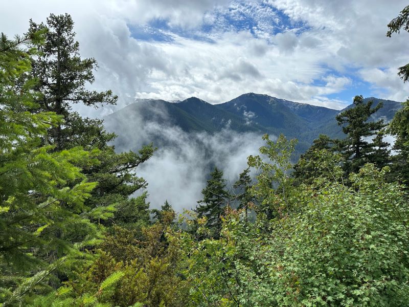
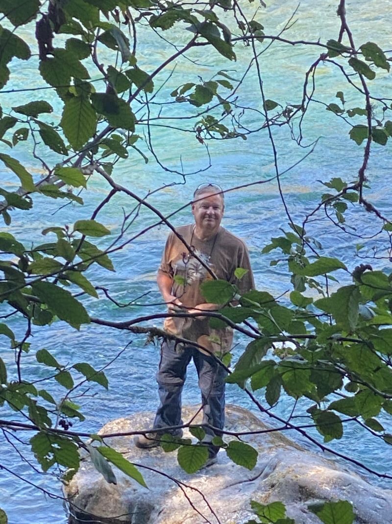
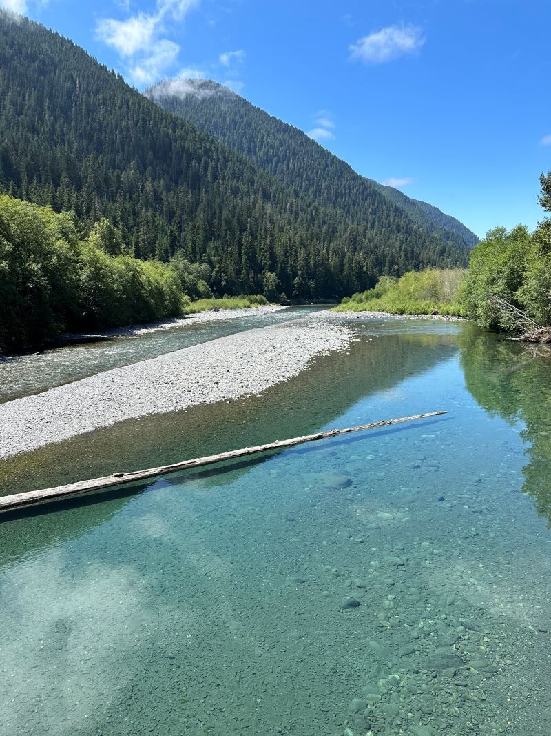
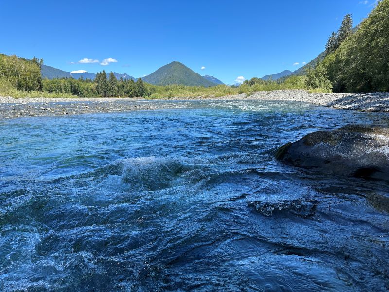
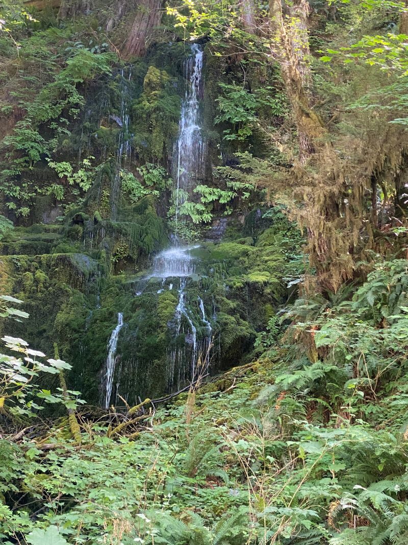
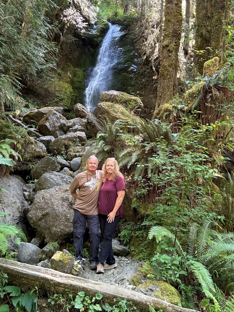
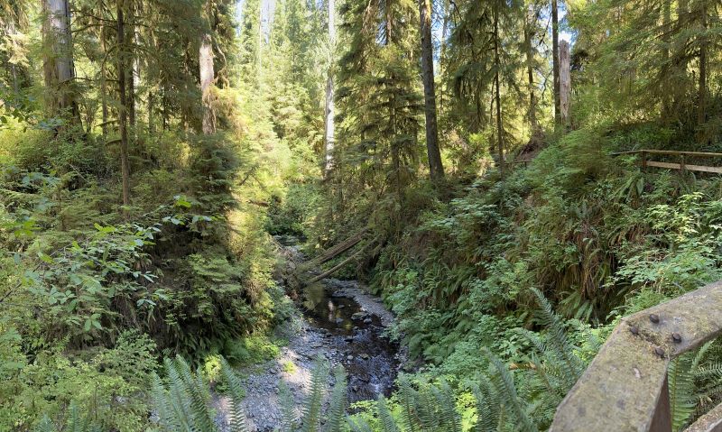
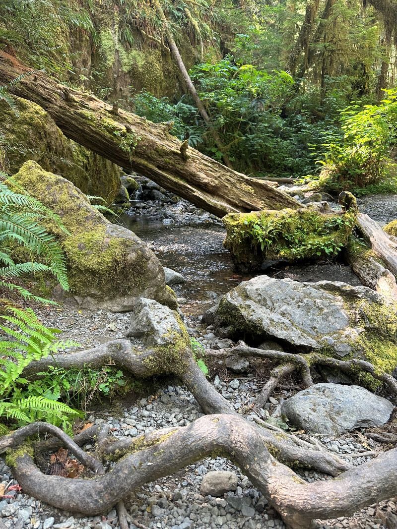
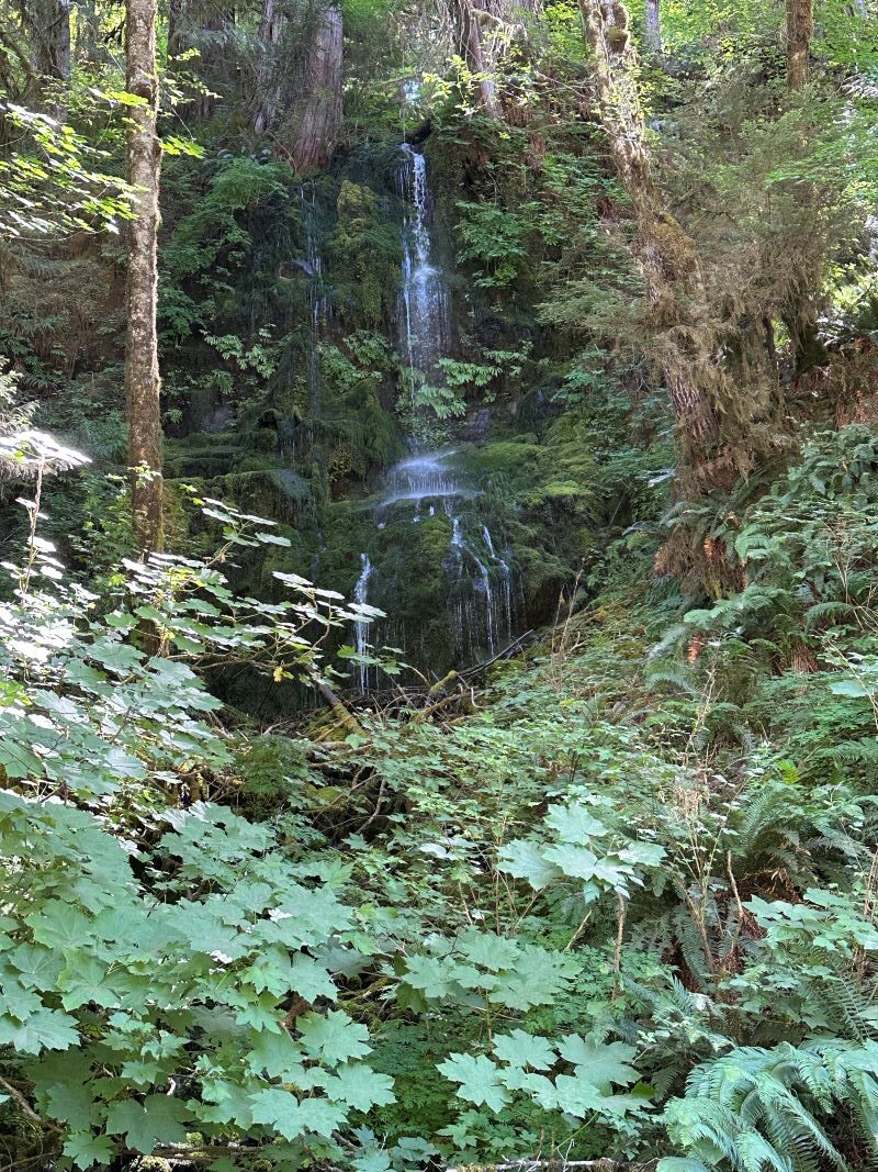
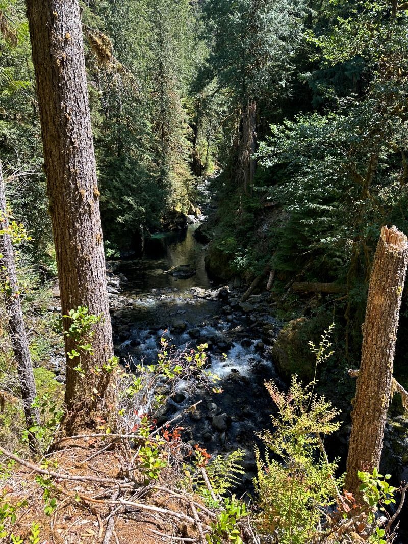
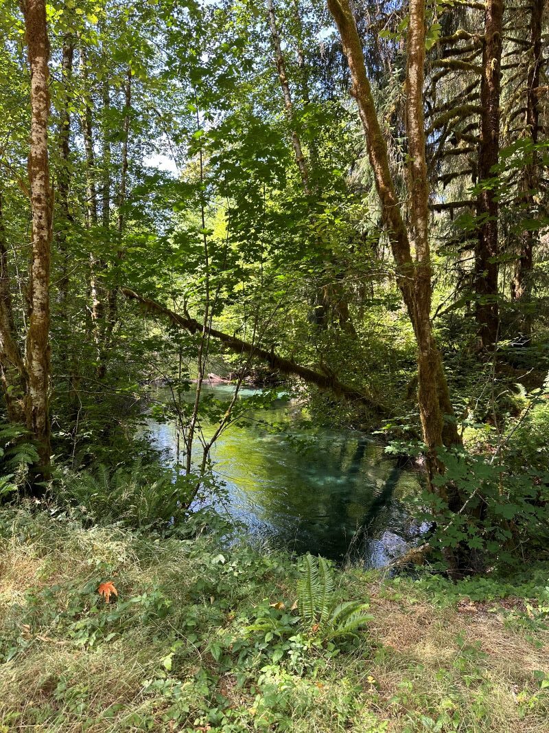
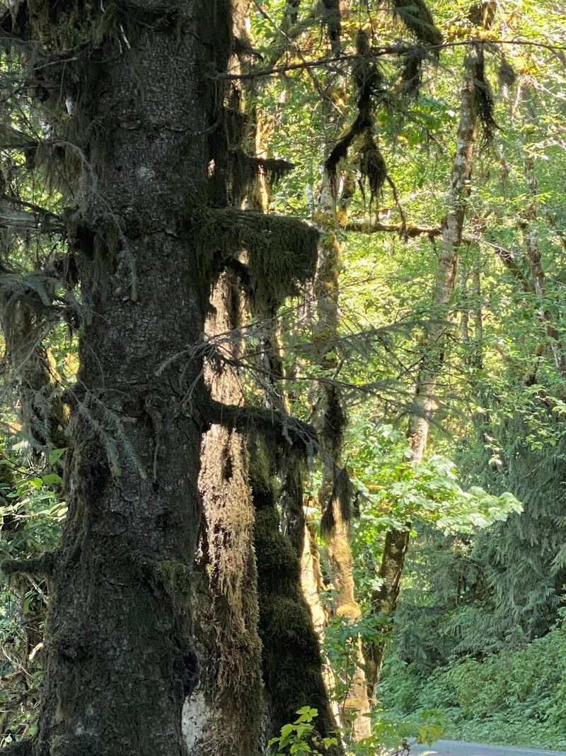
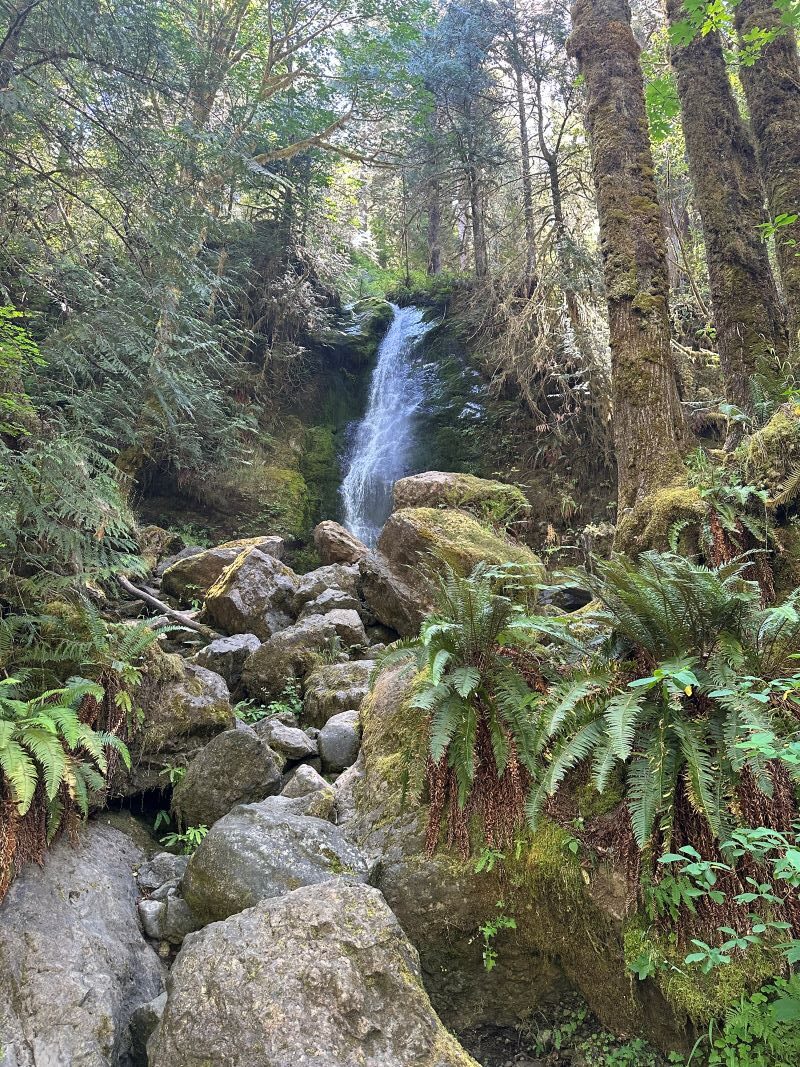
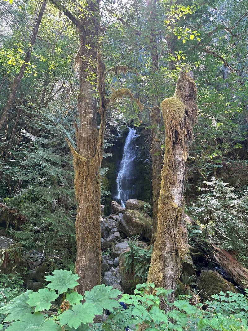
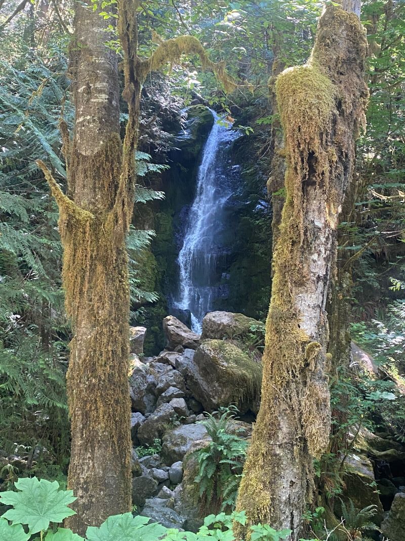
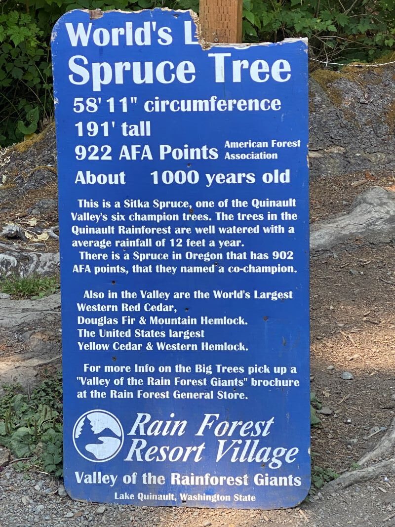
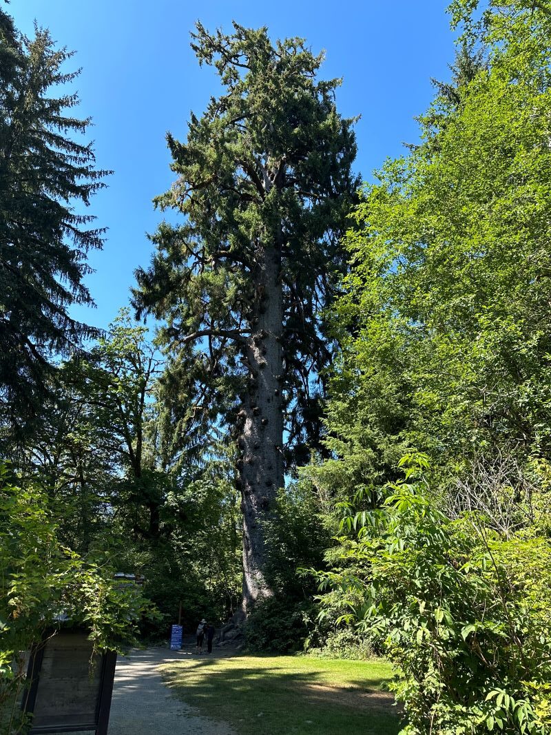
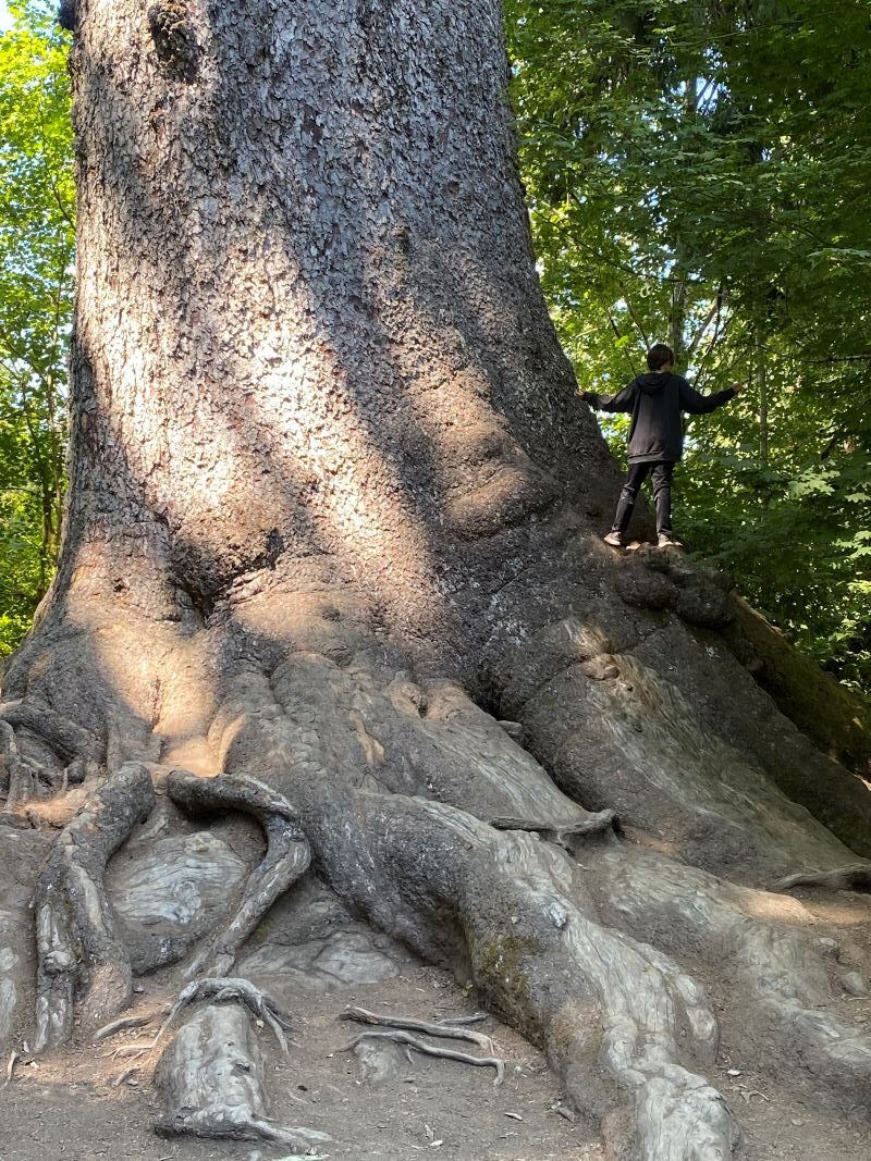
The next day we went up to the Southern part of Olympic Park to a lake called “Lake Quinault”. We drove the southern road along the lake till the end (about 15 miles) and checked out the river feeding the lake. There are great places to stop and see the falls coming down the mountains into the river and several great places to see views. At the end of the road is a hiking trailhead where you can go deeper into the park. We took some great pictures from the bridge at the trailhead, but these are big hikes, so we headed back down the road.
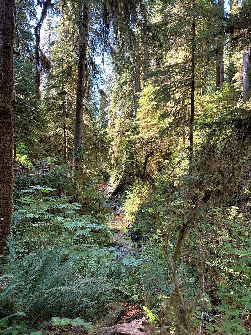
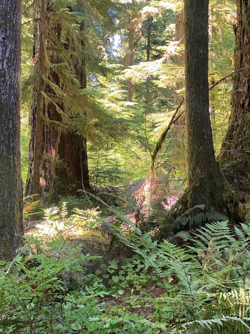
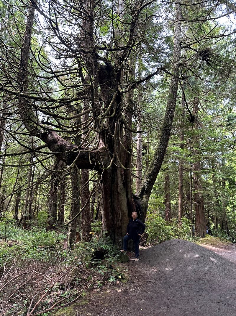
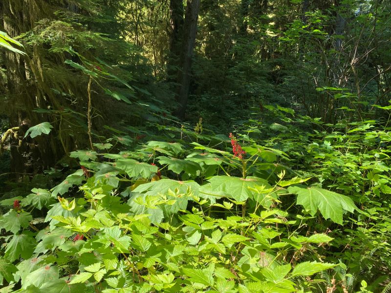
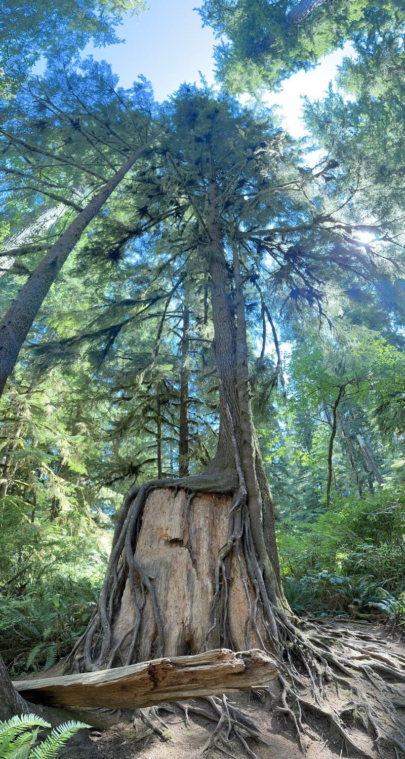
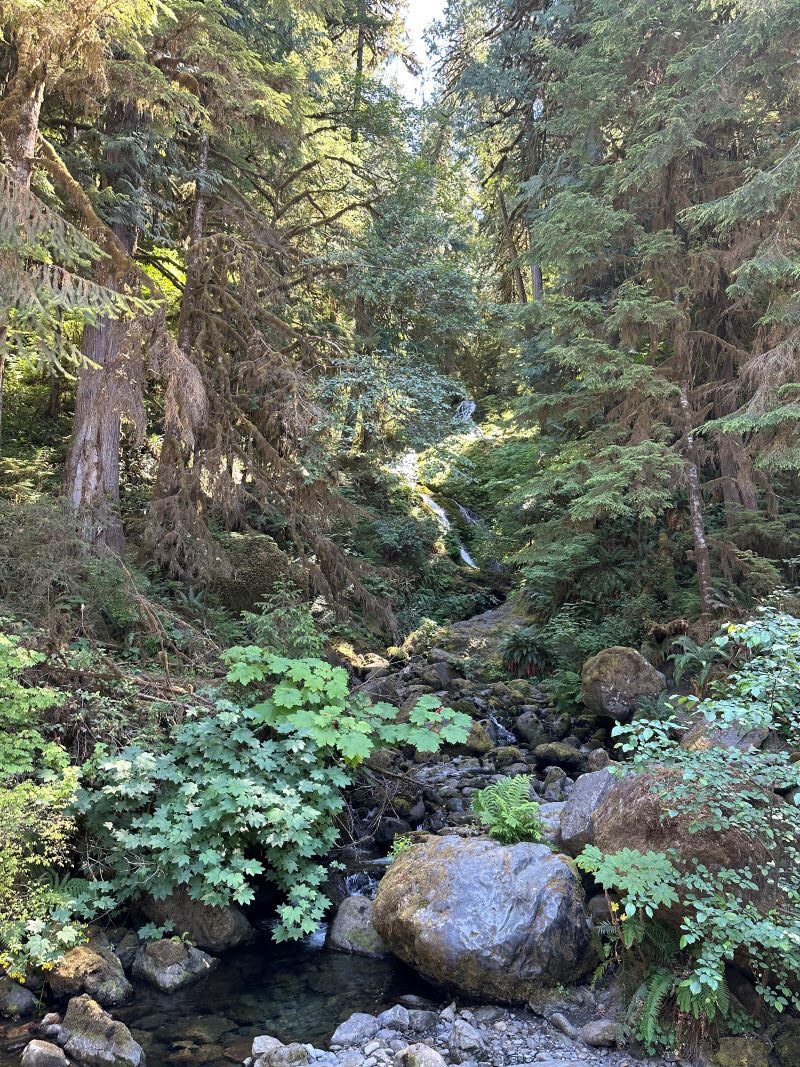
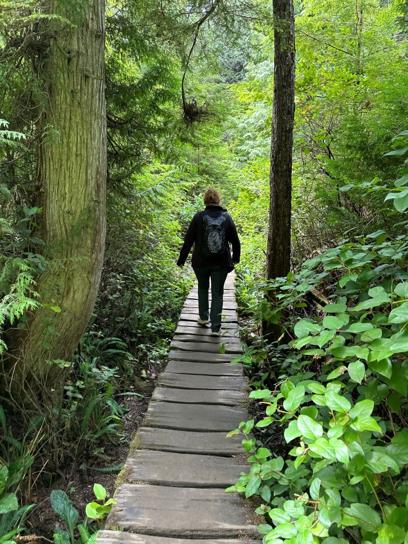
There are two rainforests in Olympic Park, and one is at Lake Quinault. We stopped there and did the hike through the rainforest and learned about how they came to be. It is a short hike, and they do a good job with the information along the trail.
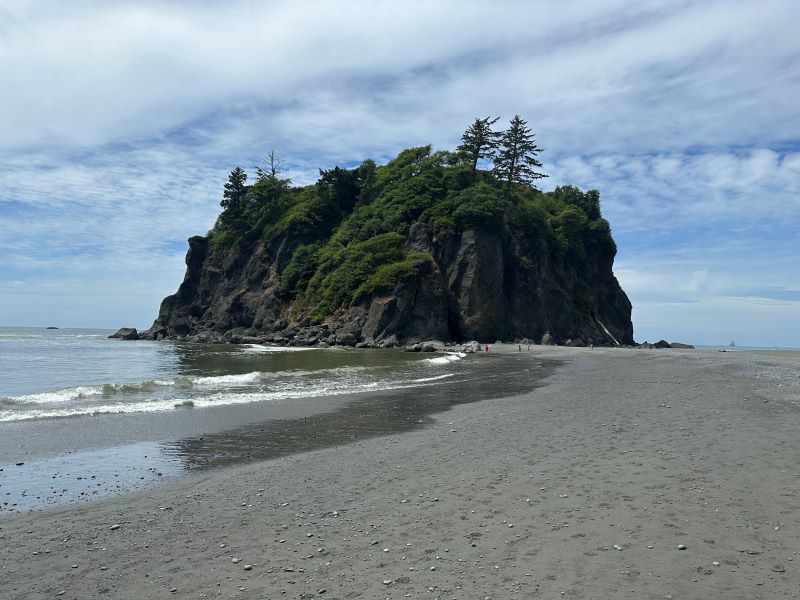
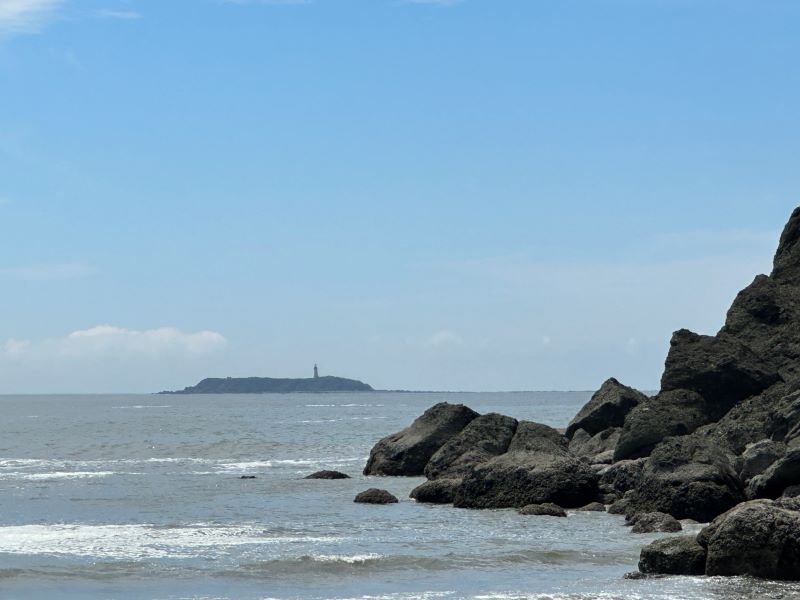
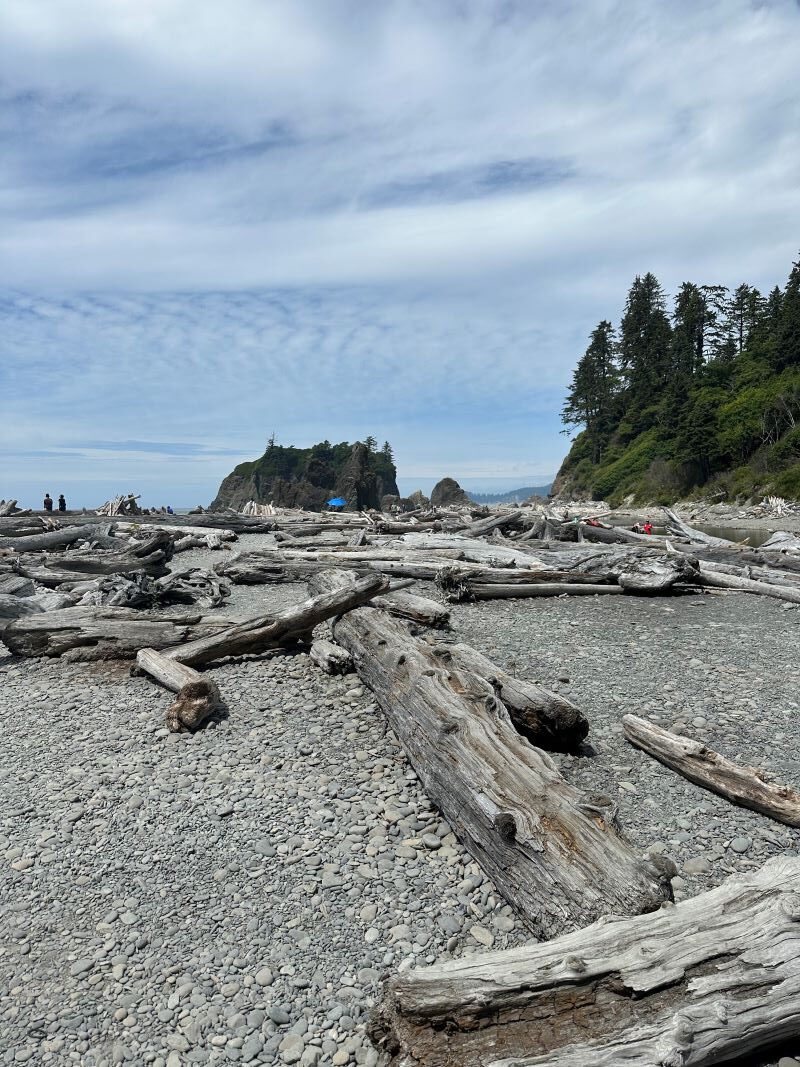
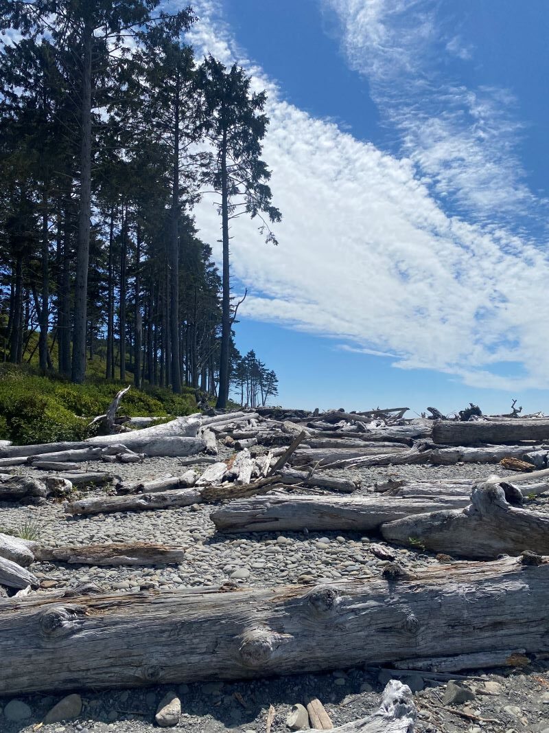
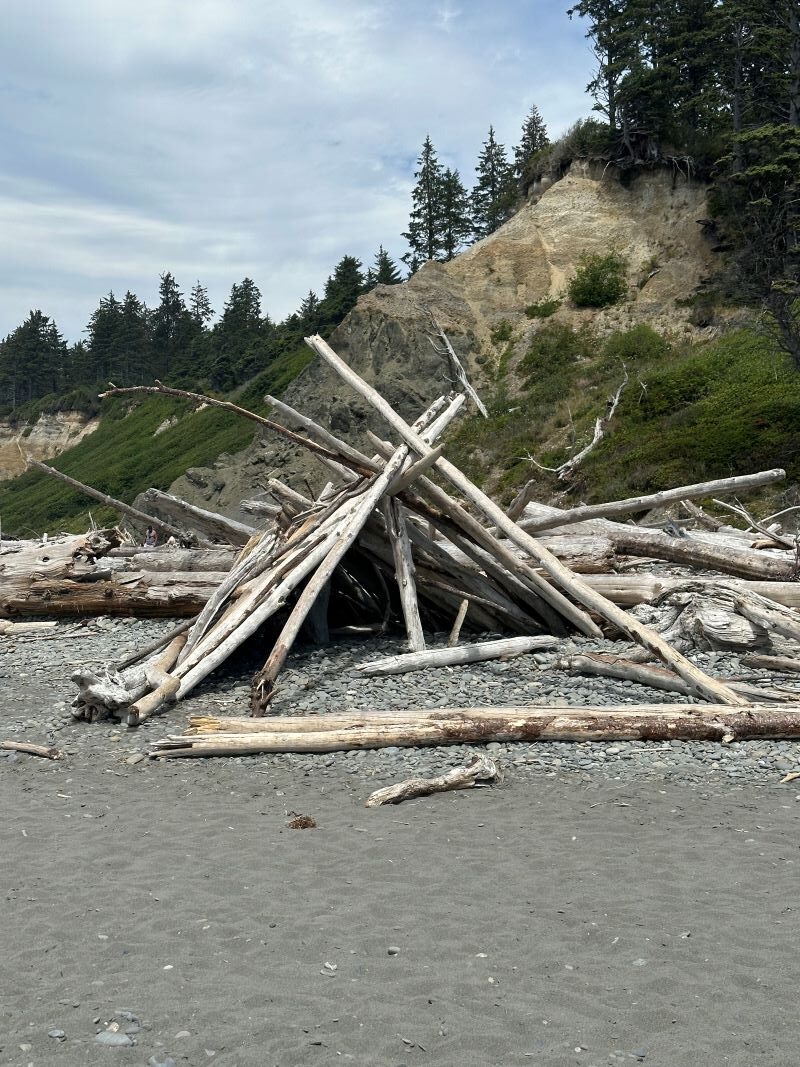
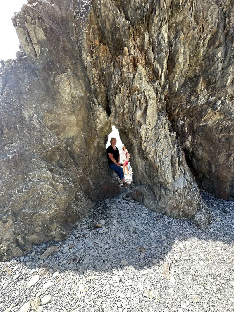
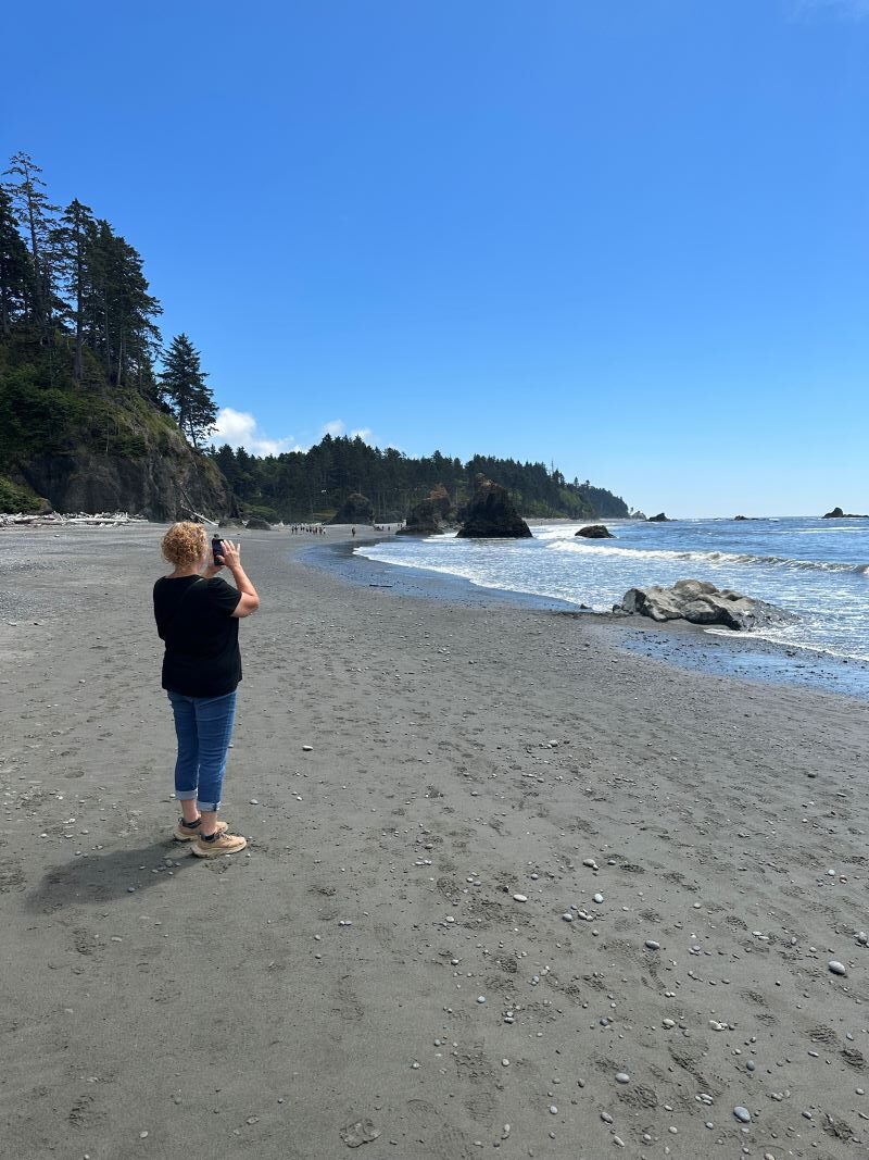
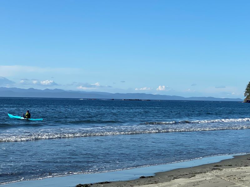
The next day we went further north to Ruby Beach. This is along a section of Olympic Park on the Pacific Coast. You hike down to the beach and go beachcombing. It is quite the beach with lots of driftwood and rock spires. As we were there, Lori and I discussed how different the coast of Washington is compared to the coast of Oregon. Washington is much more rugged, rocky and with less sandy beaches. Washington has much more mist in the air and more weather, obviously because we are further north but still the difference is amazing how things change in the span of a few hundred miles.
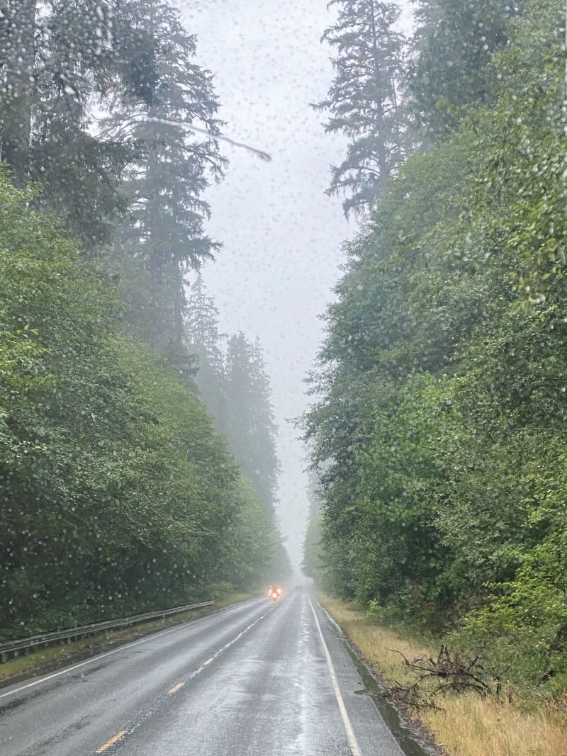
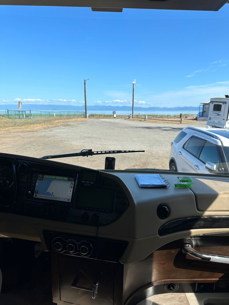
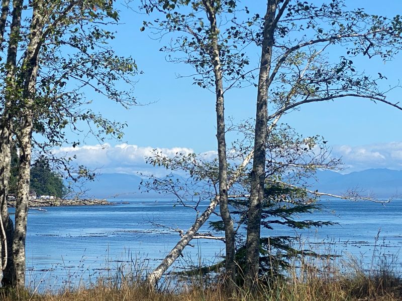
Next it was time to move the RV to the Northern Part of the park so we packed up and headed north on Hwy 101. This drive turned out to be a drive in “Washington weather” as we were rained on for most of the trip. We arrived at “Crescent Beach RV Park”( https://www.crescentbeachrv.com) which is located right on the beach of the “Strait of Juan de Fuca” and faces the Island of Victoria in Canada.
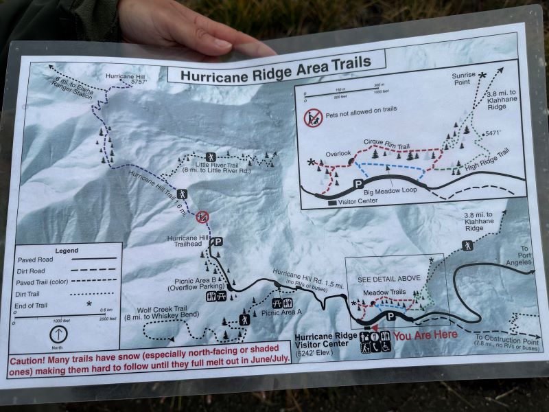
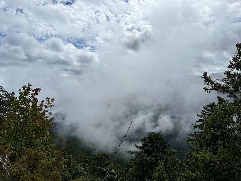
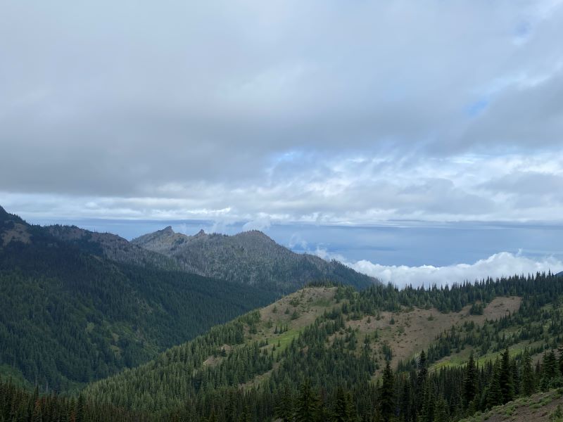
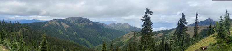
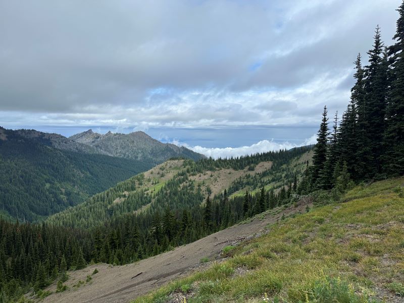
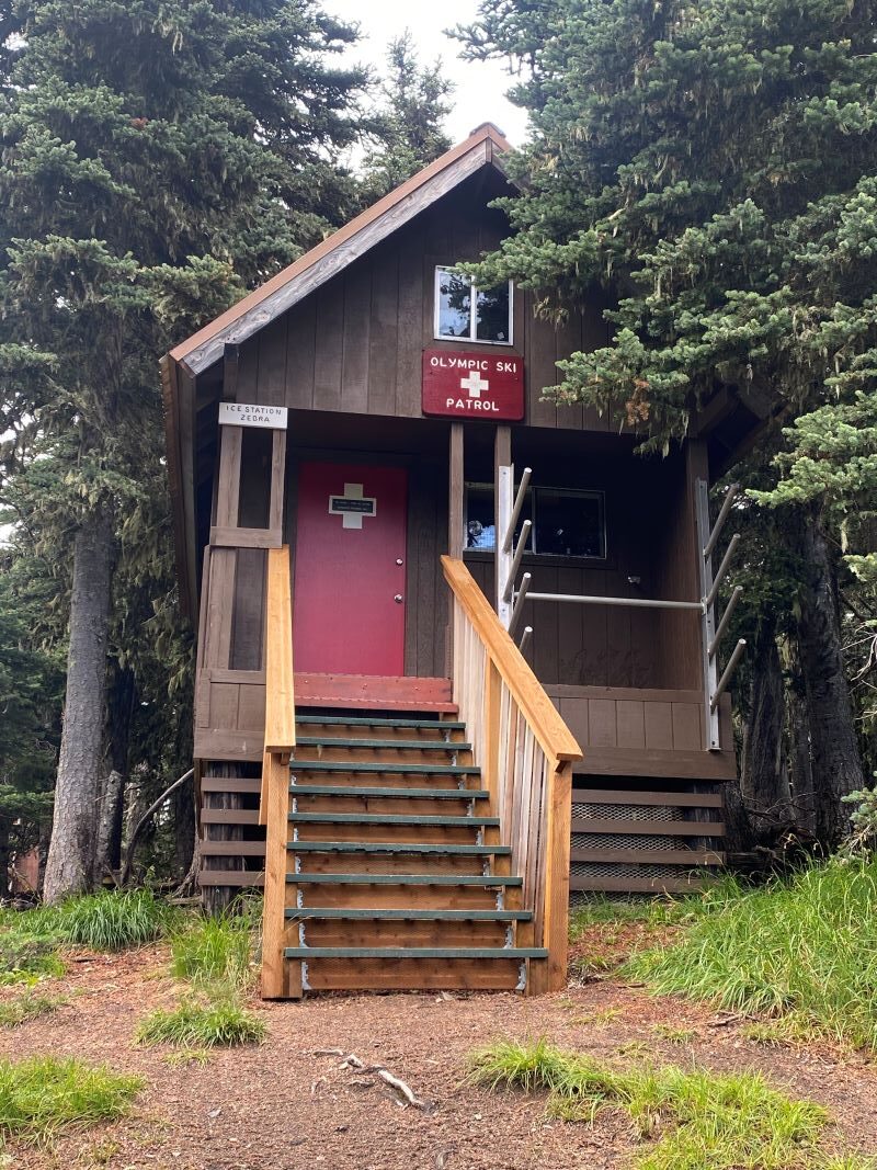
Our next stop was “Hurricane Ridge” in Olympic Park. This is the main point in the park and can be quite busy at times. You drive up to the top and can hike around and see for miles. This area was exactly how I pictured Olympic Park to be, clouds and mist flowing up the valleys, trees, and views forever. You can see across the straight and have a good view of Victoria Island in Canada.
After that we drove about an hour to Port Townsend WA. This is an old town on the tip of the peninsula that has another fort and a pretty good boardwalk area. We strolled the boardwalk and had a late lunch at a local restaurant and finished it off with an ice cream from the local shop. I don’t know when it happened, but Ice cream became a precious item because two small ice cream cones were $15. I guess I am comparing it to the days of Thrifty Ice Cream stores when I was a kid.
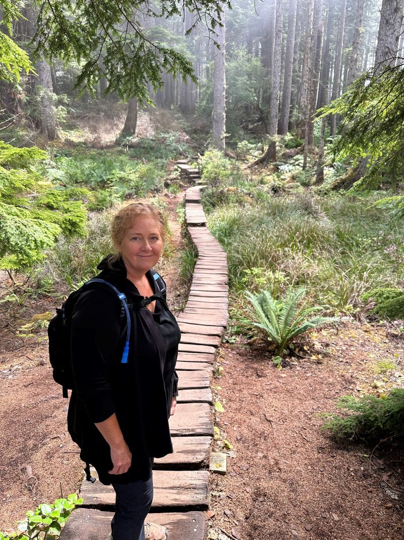
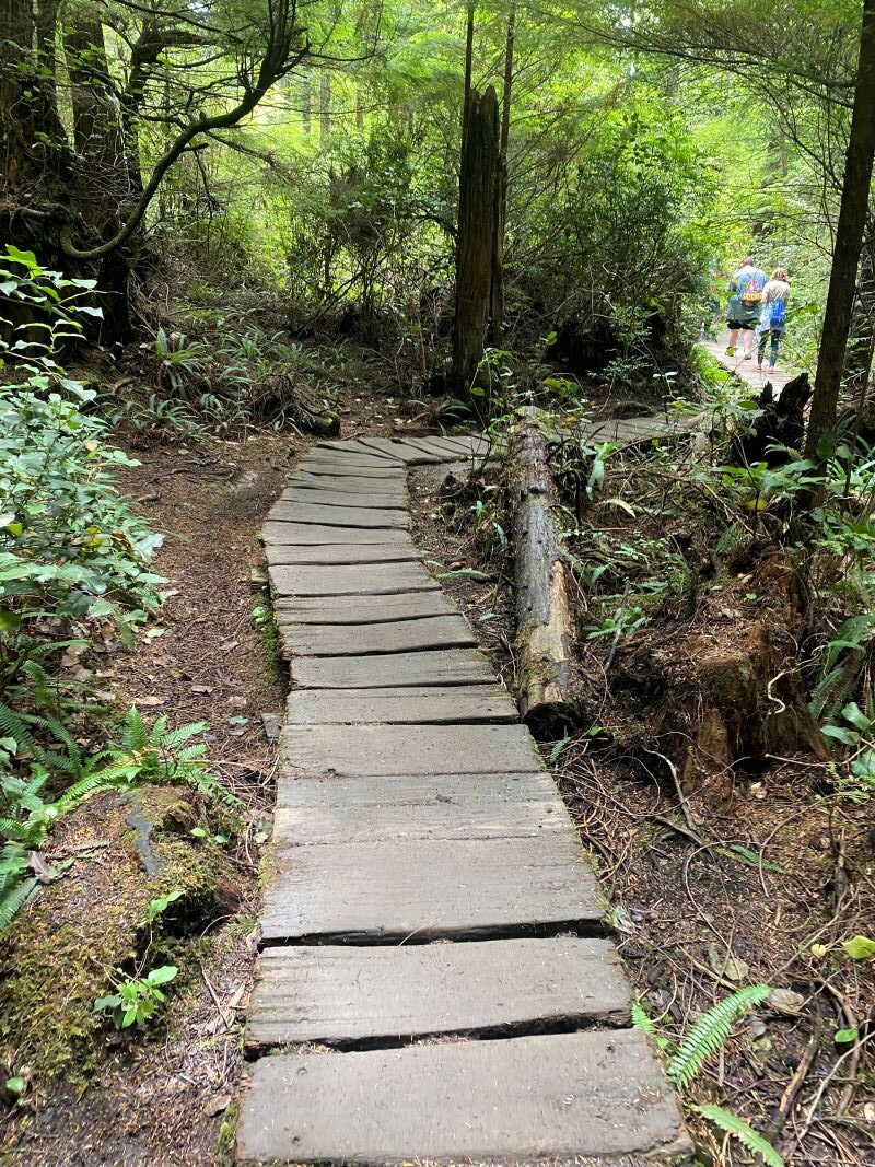
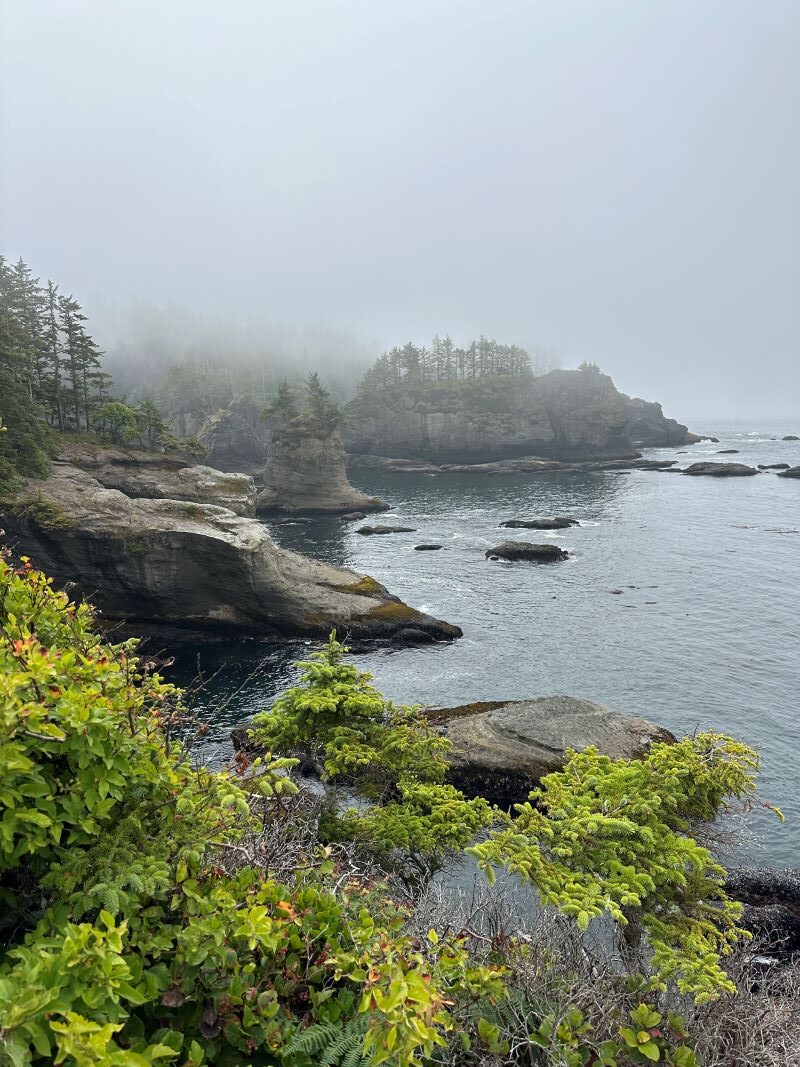
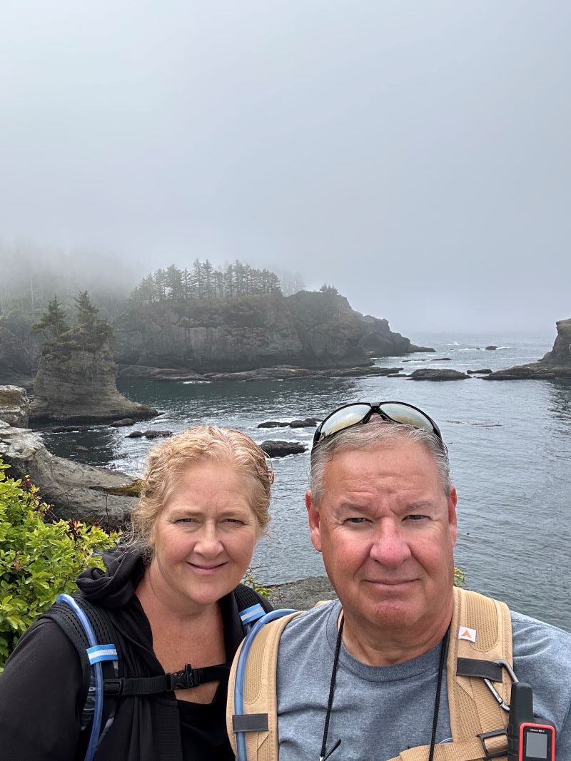
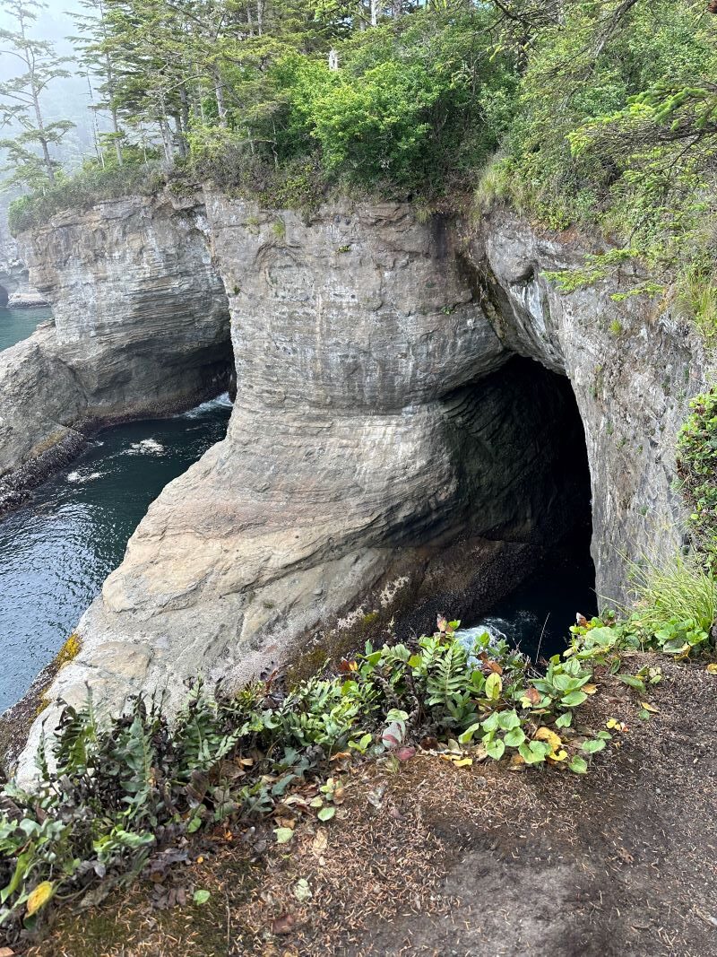
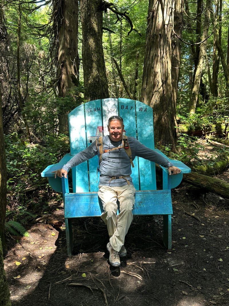
The next day we headed to Cape Flattery. This is the farthest accessible northwestern point in the United States. You go through an Indian Reservation on the way to the trailhead and you must buy a pass ($20) to do the trail. We bought our pass and headed out; it is a nice drive of about 5 miles from town to the parking lot. We parked at the trailhead and headed out. It is a ¾ mile hike to the point, but the trail is very well maintained. They have wooden walkways in areas where it floods because they get about 140-180 inches of rain here every year.
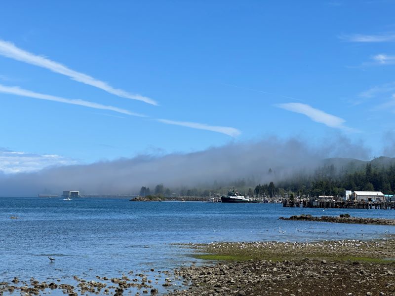
We arrived at the point just when the fog lifted and took some great pictures. The clouds rolled in and then it was hard to see but that’s what you get up here. We took lots of pictures from different points along the trail and even saw quite a few fishing boats down below. I bet the fishing is pretty good in this area. We headed back to the car and found a person selling fresh smoked salmon right at the trailhead. It looked good pretty good, but we did not have any way to keep it cold, so we had to pass.
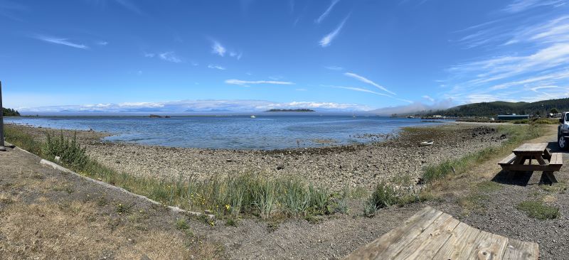
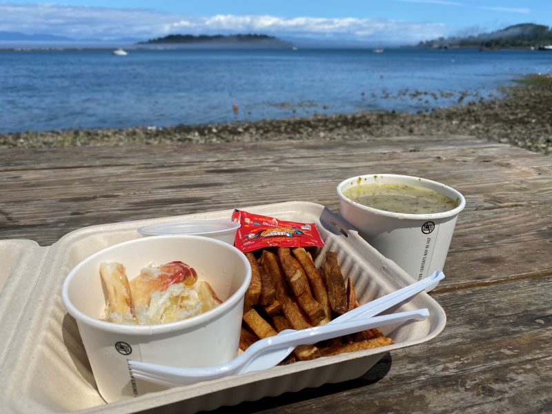
We drove back to town and stopped at “Casey’s Crab” for a late lunch. You order and then go get a table outside right along the bay. Fresh local crab and great views, can’t beat it.
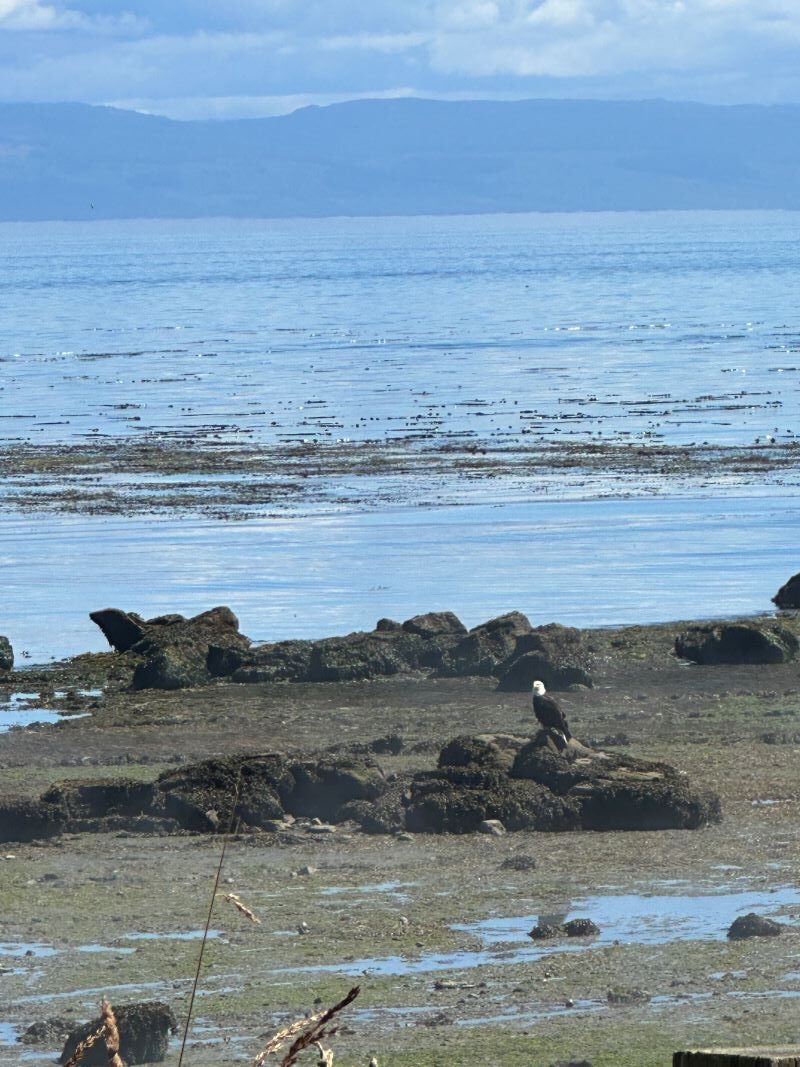
On the drive back, we discussed how we were expecting to see much more wildlife. We have not seen much more than some deer and a bald eagle that we saw today. We thought there would be much more, especially up here. I think they just know how to stay away from where the people are.
This is the end of our trip along the coast as we are headed south and inland to go see Mt. St Helens. We have been lucky as the weather has been in the 50’s & 60’s for us this last month. The rest of the US has been baking under extreme summer heat, so we have been lucky to have a cool June and July. I think that is going to change as we move inland.
Share this post: on Twitter on Facebook on Google+